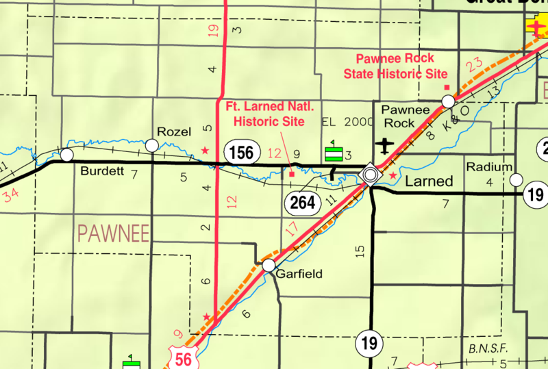
Pawnee County, in the western part of the state, is the fourth county north of the Oklahoma line and the fifth east from Colorado. It is bounded on the north by Rush and Barton counties; on the east by Barton and Stafford; on the south by Stafford and Edwards, and on the west by Hodgeman and Ness. The county was created in 1867 and named for the Pawnee Indians. As originally defined the boundaries were as follows: "Commencing where the east line of range 16 west intersects the 4th standard parallel; thence south to the 5th standard parallel; thence west to the east line of range 21 west; thence north to the 4th standard parallel; thence east to the place of beginning.'
County Seat: Larned, Kansas
Date organized: November 4, 1872
County History:
- Blackmar's Kansas Cyclopedia (1912), Pawnee County
- Cutler's History of the State of Kansas, Pawnee County
- Pawnee County on Wikipedia
Historic Landmarks, State, National:
- Historic Fort Larned | Facebook
- Pawnee Rock State Historical Site
- Zebulon Pike Plaza
- Sibley's Camp
- Larned State Hospital
County Historical Society:
Websites about the county:

